On Thursday, the Indian government firmly rejected claims from Dhaka suggesting that recent flooding in districts along Bangladesh’s eastern border was caused by the opening of the Dumbur Dam upstream of the Gumti River in Tripura. Indian officials stressed that flooding on cross-border rivers is a shared issue for both countries and cautioned the interim Bangladeshi government against endorsing “misguided” narratives.
This rebuttal followed remarks by Mohammad Nahid Islam, an adviser to the interim government, who accused India of “non-cooperation” and an “inhuman approach” by opening the dam without prior notice, leaving Bangladesh unprepared. Islam made these comments after a meeting with Chief Adviser Muhammad Yunus.
Amid rising tensions, there were reports in Dhaka suggesting that Yunus had summoned Indian envoy Pranay Verma. However, Delhi sources clarified that Verma’s request for a call had been made days earlier, before the flooding events.
Nahid, who is overseeing information and broadcasting affairs and is a coordinator of protests against former PM Sheikh Hasina, expressed hope that India would abandon its “anti-Bangladesh” stance. He criticized any official endorsement of such “misguided” narratives as detrimental to bilateral relations and labeled the use of the term “summon” as an attempt at misinformation.
The Indian Foreign Ministry issued a statement emphasizing the need for close mutual cooperation on this issue and reiterated India’s commitment to providing real-time flood data to Bangladesh as outlined in their bilateral protocol. With 54 shared cross-border rivers, effective river water management is a key component of their bilateral relations.
To address concerns about India’s role in the flooding, which followed a political crisis in Bangladesh, India clarified that recent heavy rains in the Gumti River’s catchment areas, which span both countries, were the primary cause of the floods. The Dumbur Dam, located over 120 kilometers upstream of the Bangladesh border, is a low-height structure (approximately 30 meters) used for power generation, part of which is supplied to Bangladesh.
India pointed out that the river course has three water level observation sites and emphasized that heavy rainfall since August 21 has led to automatic water releases. Despite a power outage affecting communications, India has continued to share real-time flood data with Bangladesh.
In Tripura, heavy rains have caused severe flooding, the worst since 1956, with over 80% of Agartala, the state capital, waterlogged. The situation worsened after the city received 233 mm of rain on Wednesday, overwhelming local drainage systems as the Haora River overflowed.
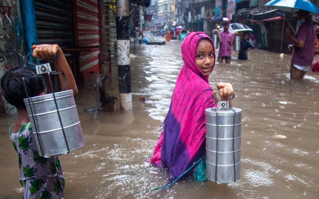
In Bangladesh, eight districts—Sunamganj, Moulvibazar, Habiganj, Feni, Chattogram, Noakhali, Comilla, and Khagrachhari—have been affected by flooding due to heavy rains and upstream water flow, impacting at least 1,796,248 people, according to the Ministry of Disaster Management and Relief.